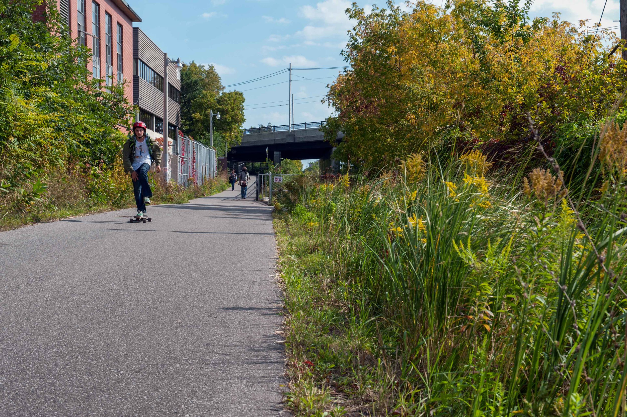
West Toronto Railpath follows an ancient trail stretching back thousands of years…
The Origins of WTR
The Original Trail
14,000 years ago West Toronto Railpath was under water as the Laurentide Ice Sheet melted. It’s north end would have been the north shore of Glacial Lake Iroquois. First Nations traveled west and east along the shoreline on an escarpment between what we now call the Humber River and the Don River basins on a route that still exists today: Davenport Road. As the water receded, new trading routes were established south to the areas around the mouth of the current day Humber River. Today’s Georgetown rail corridor, which was built in the late 1860s, and WTR follow one of those ancient routes.
Planting the Seed
The community led initiative to create the West Toronto Railpath started at a Roncesvalles-Macdonell Residents Association meeting at Fern Avenue Public School in 2001. Resident Michael Foderick shared news that the City of Toronto had recently published study about re-purposing rail corridors as trails. Two of the potential sections of rail were the nearby “CN Weston Sub” and “CP Lead” – which together ran from the Cariboo Avenue in the Junction Triangle south and east to Strachan Avenue just south of King Street.
It was agreed a committee should be struck, and a number of citizens in attendance that evening immediately volunteered to help. At the time, it seemed a modest letter-writing campaign to demonstrate neighbourhood support would be enough to get the Railpath opened in a year or two!
To help motivate us, two walking tours were organized in 2001 to explore along the fringes of the little used corridor. A group met near the Dundas overpass on a cold and sunny afternoon, and had the opportunity to take photos and experience first-hand this little-known slice of the city. It wasn’t hard to imagine (even in the dead of winter) what an imaginative re-use of this derelict space could contribute to our community. We were excited right from that moment about how this path could knit together neighbourhoods that have long been divided by railway tracks.
Coming Together
Early organizational meetings took place at Community Bicycle Network (CBN) on Queen Street West and local real estate agent Chander Chaddah’s office on College Street. We sought to build support with neighbourhood groups, local politicians and other community leaders. There was much discussion at the time about whether the Railpath (which had yet to be named) should be thought of as walking path, a bike commuter route or city park. In the end, all three of these visions proved to have merit.
We were aware of – and inspired by – rails-to-trails advocacy groups during this period. In particular, a group of activists had formed in New York City in the late 1990s to redevelop the famous High Line, which opened as a public park about ten years later.
Structurally, the Friends of West Toronto Railpath was set up as a partnership between Evergreen and CBN. In addition to these crucial organizations, MEC provided seed funding to get us off the ground. The first website and email lists were set up in early 2002.
At the risk of forgetting someone, early volunteers included: Sharon Airhart, Hilary Bell, Chander Chaddah, Stewart Chisholm, Hannah Evans, Dale Fallon, Mike Foderick, Liora Friedman, Debbie Friesen, Barb Heidenreich, Sean Mulhern, David Robinson, Netami Stuart, Tom Timmins, Bruce Gavin Ward and Baruch Zone.
The WTR timeliNe
1980s
The “Rails to Trails” movement begins across North America converting abandoned rail lines into multi-use trails. Early examples of this are the 390 km Katy Trail in Missouri (1982), the Cowboy Trail in Nebraska (1992), and the Allegheny Passage in Maryland/Pennsylvania (1982). While probably the best known, New York's amazing High Line is not really a trail. Chicago's 606 is a better example of an urban “rail to trail". Today there are hundreds of RTT projects across North America.
1997
In anticipation of the inventory report the old City of Toronto City Council had already authorized the acquisition of the of these lines for a trail extending from Cariboo Avenue just north of Davenport all the way south along the Georgetown Corridor east to Strachan and possibly further.
1998
The City of Toronto publishes an inventory of unused rail corridors and electric corridors that could be converted into multi use trails. One of those was a West Toronto rail line that had been the Toronto Grey and Bruce railway in 1871 and was abandoned by 1996. Railroaders affectionately called this line “Old Bruce”. It was comprised of a spur called “CP Lead” and a line called “CN Weston Sub”.
2000
The Toronto City council agrees to purchase of the “PS Lead” spur portion which was then owned by Canadian Pacific Railways subsidiary the St. Lawrence & Hudson Railway Company Limited at a cost of $920,000. By the end of the year the City had finished pre-engineering studies.
2001
Citizens begin to organize to build WTR. “Friends of WTR” is formed.
July
WTR is formally incorporated into the City’s Bike Plan.
2003
Sale of “PS Lead” finalized.
2006
RFP for the WTR is tendered.
2007
March
Detailed plans presented to the community. The principals were:
Scott Torrance Landscape Architect Inc.
Brown+Storey Architects Inc. (urban design and architecture)
John Dickson (public art)
K.H. Davis Consulting Ltd. (engineering)
Nexgen Electrical Engineers (electrical)
Mopar Construction (contractor)

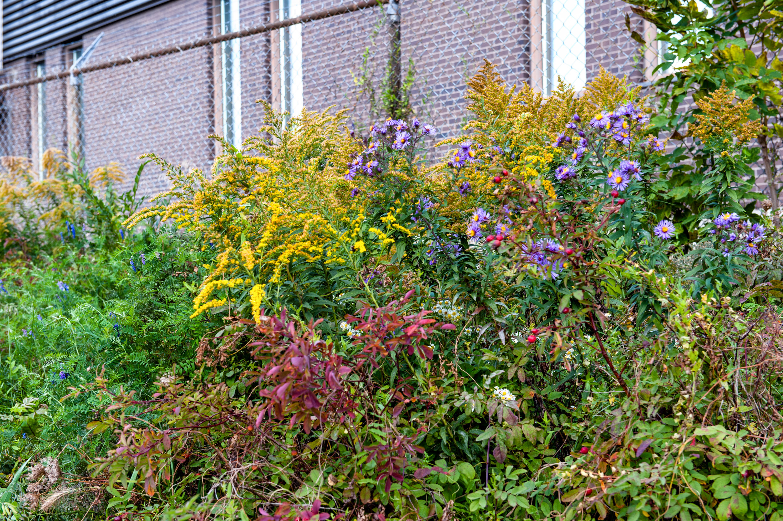
Seeds are collected from the route of the future Railpath.
October
WTR project landscape architect Scott Torrance leads seed collection of indigenous and existing plants to create a seed bank to restock the WTR after construction. Seeds collected include: Overlooked dropseed, Prairie Cordgrass, American Bittersweet, Braken Fern, Smooth Rose, Spreading Dogbane, Choke Cherry, Virgin’s Bower, Common Evening-Primrose, Grass Leaved Goldenrod, Heavy Panic Grass, Grape Woodbine, and Common Milkweed.
2008
$3.7 million is approved by the City of Toronto for construction of WTR Stage 1 from Cariboo Avenue south to Sterling Road and Dundas Street.
June
Constructions begins (see photo gallery).
2009
June
The public art competition for the railpath is awarded to Toronto artist John Dickson. Frontier is a series of three permanent installations. The forms of each work emerge as beacons of the railpath landscape, evoking the area’s industrial past while beckoning visitors along their route.
June
Construction is complete.
October
Railpath Stage 1 Officially Opens.
2016
January
Victor Ford and Associates finishes visioning design of WTR Stage 2 (Dundas to Abell Street) for Environmental Assessment.
An Environmental Assessment for WTR expansion closed in and allowed WTR to extend south to Abell Street.
WTR receives $11.7 million in Federal Infrastructure money.
August
Metrolinx announced that they would be widening their bridge over Dufferin and would build in room for WTR to cross over to the south side of Queen. As well, the new parks on the north west and north east sides of Dufferin are being built now to accommodate future WTR connections.
2018
Metrolinx and City of Toronto work to coordinate future rail corridor expansion and the building of WTR Stage 2.
Metrolinx started expropriation to facilitate a tunnel under the Bloor GO station and WTR to connect to Dundas West Subway and the west side of the corridor.
More details of what is going on now can be found at the City of Toronto Ongoing Projects page.
Work continues to establish links from the existing Railpath to Wabash Park on the east side of the rail corridor, and to the proposed development at Bloor and Dundas.
Work continues to expand north up to St. Clair.
next steps
Help us grow the Railpath.
