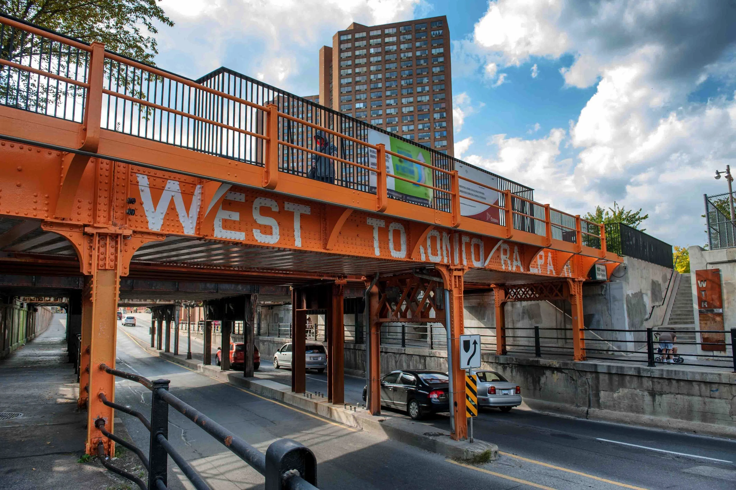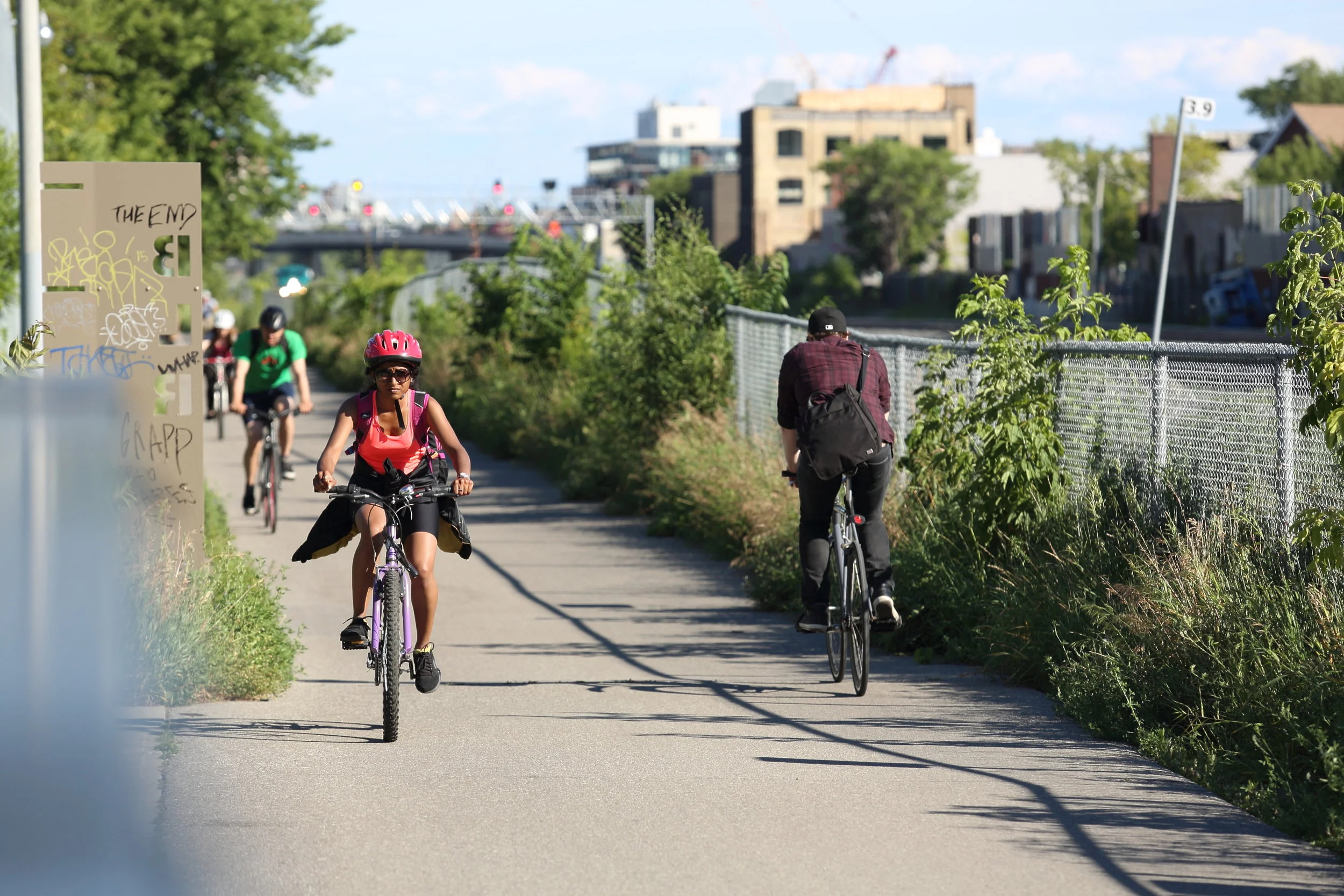
The Friends of the West Toronto Railpath is a volunteer group committed to building community, connection, and awareness around the WTR, a 2-kilometre trail that connects Toronto’s West End.
The Railpath
The West Toronto Railpath is a 2.1 km multi-modal human-powered trail that runs north to south through Toronto’s Junction Triangle. Built on an abandoned rail line, WTR was designed as a safe, car-free, linear park. Railpath follows what was one of many Indigenous trails starting at the shoreline of the ancient Glacial Lake Iroquois; now Davenport Road.Since opening in 2009, it’s naturalized ecology has become a canvas for art, a lively community gathering space, and a catalyst for major neighbourhood changes and connections.
Friends of West toronto Railpath
The Friends of the West Toronto Railpath is a volunteer group who help activate the Railpath, build community, and raise awareness on issues and needs regarding the path with stakeholders such as the City of Toronto, Metrolinx, resident groups and community organizations. The group is made up of neighbours and community members, avid walkers, cyclists, artists, planners, urban ecologists, landscape architects, fresh air fiends and avid walkers.
Connection & Recreation
The Railpath is a multi-modal trail that connects Toronto’s West End. It is a great place to safely cycle, rollerblade, run, walk, meander, skateboard, roll, etc.
Public Art
The Railpath is a constantly evolving canvas for many types of art, including murals, sculpture and temporary installations, and is an inspiration for artists.
Ecology
The Railpath is home to an ecosystem of plants that are well adapted to harsh urban conditions and which provide food and habitat to birds and insects, and beauty and colour along the path.

“The West Toronto Railpath is an important part of how our community gets around. It was built with our collective vision for better active transportation. I'll work alongside Friends of Railpath to see it grow, thrive, and connect even more communities.”
– Davenport Councillor Alejandra Bravo
WTR 101
Phase One of West Toronto Railpath runs 2.1 km south from Cariboo Avenue (one block north of Dupont Street) to Dundas Street West (at Sterling Road). Starting at the north end there are accessible entrances at Cariboo Avenue, behind the Osler Fish Warehouse, Ruskin Ave, Wallace Ave, Ernest Ave, Randolph Ave and at Dundas Street West at Sterling Road, There are stairs at Bloor Street West and Dupont Street. There will be additional entrances as Sterling Road is developed.
The West Toronto Railpath is a multi-use trail maintained by City of Toronto Parks, Forestry and Recreation. WTR can be used for any human powered activity: cycling, walking, running or rollerblading. Besides authorized maintenance vehicles, there are no cars, trucks, motorcycles or electric bikes allowed on the WTR. The entire length of WTR is designated an “on-leash” zone for dogs. This is to respect the ecology of the trail and to protect its users who move at different speeds; we must all share the trail.
There are three Bike Share locations on the Railpath: at Dundas Street West, at Bloor Street West, and at Cariboo Avenue. There is also a location just east of Railpath at Symington and Bloor. Check here for map and bike availability.
Just north of Bloor Street on WTR there is direct access to the GO / UP Express Bloor Station (via stairs and ramp).
What's Next?
The City of Toronto plans to extend WTR 2 km south from it's current termination at Dundas Street West to Abell Street (just north of King Street) by 2024-25. Its a big project with 5 bridges. It will be built for the City by Metrolinx after their work on a 4th line near the Bloor GO station is done in 2023.
Detailed early design and public consultation materials are here. Select “Project details” to see drawings.
This expansion shares a border with the Georgetown Rail corridor which is operated by Metrolinx. Metrolinx has expansion plans within the corridor and any WTR extension needs coordination between the City, Metrolinx and other stakeholders. This has made the process slower than we would like.
Metrolinx will be adding a new rail line within the Georgetown Corridor. Near Bloor Station they will need to take some of WTR’s land and move Railpath over. In some cases WTR has future proofed the route and has land available. Next to the station there will be a narrowing. Any land or trees removed to facilitate this new line will be replaced by Metrolinx.
Talks have been ongoing to continue a direct route from Abell Street over the corridor and into Liberty Village as part of the King Liberty Smart Track station. There is a lot of support for this idea from residents associations, developers, advocacy groups and Councillors and the most recent plans for the station show the passage over the corridor.
Friends has also been working with 8 other community groups and Metrolinx to create another multi-use trail along the Barrie line to the east from Davenport Avenue south to meet Railpath at Dundas.This is part of the public realm being built as part of the Davenport Diamond grade separation. At the north end it could connect with the proposed Green Line and would pass the new GO station at Lansdowne and Bloor. For more information on this project see the Metrolinx Davenport Diamond page.
Friends of the Friends
Help Us grow the railpath

